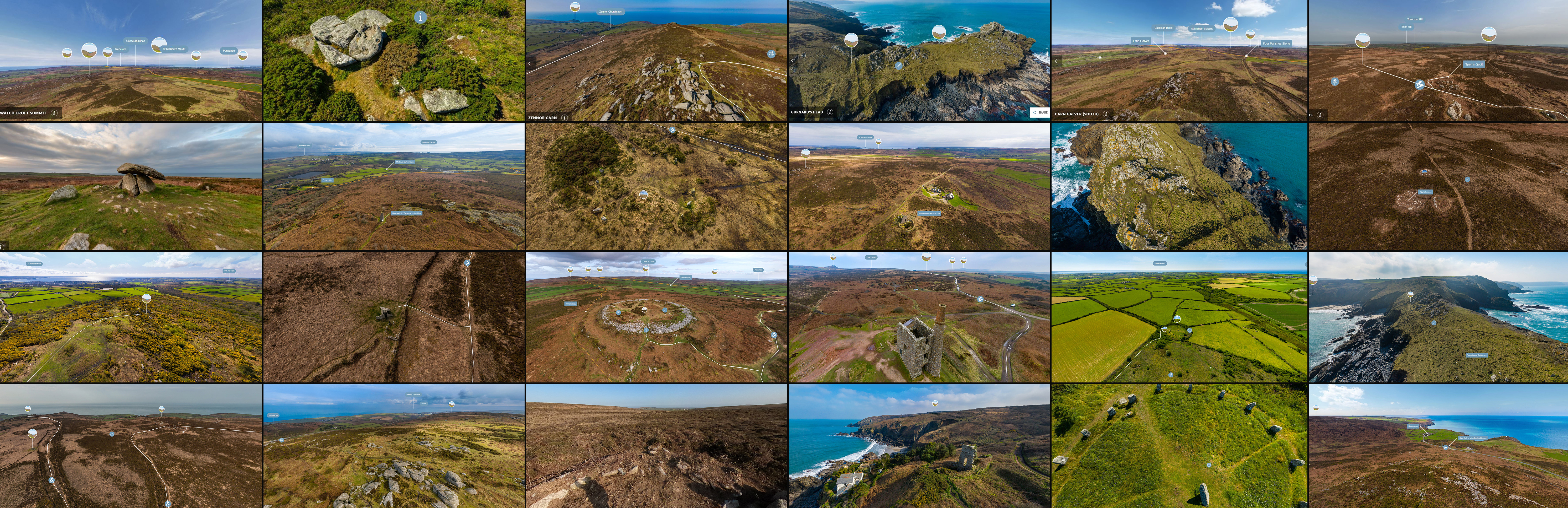
 Last October we launched our Penwith Landscape Exploration Network, or PLEN for short, allowing visitors to our website to explore some of Penwith Ancient Sites and historic landscapes virtually from home. Since it's launch it has become one of the most popular areas on our website. As such in the countdown to Christmas we were pleased to be able to share 24 sites from the PLEN on our social media channels, one for each day of advent, with direct links to each of the sites - allowing those with an interest in particular sites on the platform to head there directly. As such, we wanted to pull together all these posts here on our website, with the direct links included, to allow those not on social media to explore these sites too!
The 24 sites are detailed below - click on the name to the site to visit that directly on our PLEN platform - and happy exploring!
- Watchcroft - the highest point in the Penwith landscape, and the launching point for our interactive PLEN platform.
- Creeg Tol - A natural outcrop, this site is also known as the Giant's Footprints because of the shape of part of the outcrop.
- Zennor Carn - This site gives wonderful views over coast, moorland and many nearby ancient sites and trails.
- Gurnard's Head - This unique coastal location is called Ynnyal in Cornish, which means bleak!
- Carn Galver, South - The remains of a Neolithic tor-top enclosure can be found here at one of the most distinctive sites in Penwith.
- Sperris - This hilltop location gives stunning views over several ancient sites nearby, as well as wildlife habitats and the wider Penwith landscape.
- Chûn Quoit - This is the remaining internal section of a Neolithic chambered tomb, and would have originally been within a kerbed barrow or mound of earth.
- Rosewall Hill, East - This site gives great views of Mount's Bay and St Ives Bay, as well as the Medieval field systems nearby.
- Nine Maidens stone circle - This Bronze Age site is aligned with Carn Galver - the most prominent landscape feature nearby.
- Morvah Hill Mine Workings - This post-Medieval mine next to Watchcroft followed lodes, which led to its distinctive linear appearance in the landscape.
- Gurnard's Head Ramparts - The distinctive remains of defensive ditches can be seen here, which would have originally protected the settlement nearby.
- Sperris settlement - Seven distinct roundhouses have been found here, thought to date from the late Bronze Age.
- Trengwainton Carn - In the 19th Century this area was managed as an ornamental landscape. It has since run wild, but traces of its past can still be found.
- Zennor Quoit - The remaining stones represent the inner chambered tomb of this Neolithic monument, as it is thought it was covered in earth originally.
- Chûn Castle - This Iron Age hillfort has both inner and outer walls each with its own ditch.
- Greenburrow Engine House - This was part of Ding Dong mine in the 19th Century. Despite this being a more recent building the mine itself is one of Penwith's oldest.
- Boscawen-ûn landscape - Although it is best known for its wonderful stone circle, the wider landscape here contains many barrows, standing stones and other ancient monuments.
- Trereen Dinas - This former settlement on Gurnard's Head consisted of eighteen roundhouses, although little is left of them today.
- Drove Roads - Several of these historic trackways are found in the landscape near Zennor and highlight how it was used for livestock management.
- Rosewall Hill (West) - This site not only has great views of St Ives, but is a great vantage point to view the remains of Medieval field systems.
- Sperris Roundhouse - This 360 degree ground view allows us to see one of the roundhouses that ancient residents of Penwith would have called home.
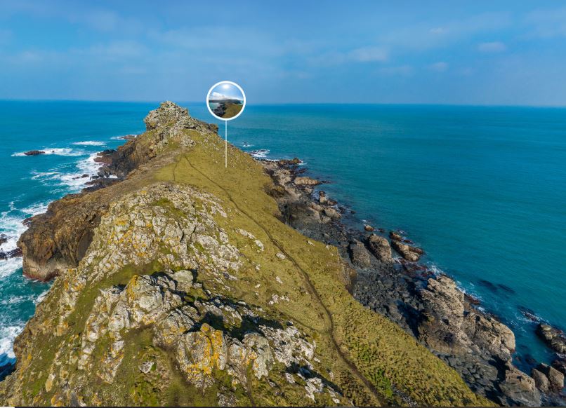
- Lean Point - As well as offering stunning coastal views, from this site you can see the remains of the Medieval Chapel Jane and the 19th Century Gurnards Head Mine.
- Boscawen-ûn Stone Circle - The aerial view on the PLEN demonstrates how this stone circle is not a circle at all, but an ellipse!
- Carn Galver North - This site provides stunning views of the historic field systems still in use, and the remains of Carn Galver mine.